How To Reach Athirapally
How To Reach Athirapally
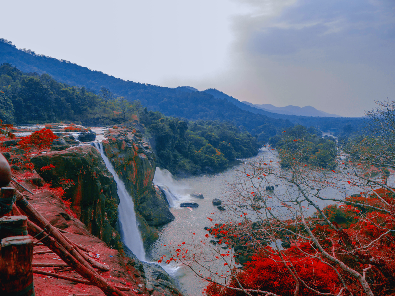
Athirapally, often referred to as the “Niagara of India,” is a breathtaking waterfall located in the Thrissur district of Kerala. Nestled amidst lush greenery, this stunning destination is famous for its majestic waterfall, which cascades down from a height of 80 feet. Athirapally is not just about the falls; it also offers a serene environment, wildlife, and scenic beauty that make it a must-visit for nature lovers. Here’s a comprehensive guide on how to reach Athirapally, covering various transportation options and routes to ensure a smooth journey.
By Air: The Quickest Route to Athirapally
For those who prefer air travel, the nearest airport to Athirapally is Cochin International Airport (COK), located about 40 kilometers away. Cochin Airport is well-connected to major Indian cities and several international destinations, making it the most convenient option for reaching Athirapally.
From Major Cities:
- Delhi to Cochin: The flight covers around 2,630 km and takes approximately 3 hours. Airfare typically ranges between ₹3,000 and ₹10,000, depending on the season and booking time.
- Mumbai to Cochin: This 1,375 km flight takes about 2 hours, with ticket prices ranging from ₹2,500 to ₹8,000.
- Bangalore to Cochin: Covering 370 km, the flight duration is roughly 1 hour and 15 minutes, with fares between ₹2,000 and ₹6,000.
- Chennai to Cochin: The 685 km flight takes about 1 hour and 30 minutes, with costs ranging from ₹2,000 to ₹7,000.
Route to Athirapally from Cochin Airport: Upon arriving at Cochin International Airport, the best way to reach Athirapally is by road. You can hire a taxi or rent a car for a scenic drive that typically takes around 1 to 1.5 hours, covering a distance of about 40 kilometers. The route via Angamaly and Chalakudy takes you through verdant landscapes and small towns, adding to the charm of the journey.
By Train: A Budget-Friendly Option
While Athirapally doesn’t have its own railway station, the nearest major station is Chalakudy Railway Station, located approximately 32 kilometers away. Chalakudy is a well-connected railway junction, making it a convenient option for travelers coming by train.
From Major Cities:
- Delhi to Chalakudy: The train journey covers around 2,700 km and takes approximately 48 to 50 hours. Ticket prices range from ₹800 to ₹4,500, depending on the class of travel.
- Mumbai to Chalakudy: Covering around 1,600 km, the train journey takes about 28 to 30 hours. Fares vary between ₹700 and ₹3,800.
- Bangalore to Chalakudy: This 575 km journey takes approximately 10 to 12 hours by train, with tickets priced between ₹400 and ₹2,500.
- Chennai to Chalakudy: Covering roughly 690 km, this train ride takes around 12 to 14 hours, with ticket prices ranging from ₹500 to ₹2,800.
Route to Athirapally from Chalakudy Railway Station: Once you arrive at Chalakudy Railway Station, you can hire a taxi or take a bus to reach Athirapally. The drive from Chalakudy to Athirapally takes about 45 minutes to 1 hour, covering a distance of approximately 32 kilometers. The route via Athirapally Road is surrounded by dense forests and small villages, offering a scenic and peaceful drive.
By Road: A Scenic Drive to Athirapally
Athirapally is well-connected by a network of roads, making it accessible for those who enjoy road trips. The drive to Athirapally is an experience in itself, with stunning views of Kerala’s lush greenery and winding roads.
From Major Cities:
- Bangalore to Athirapally: The drive from Bangalore covers about 520 kilometers and takes approximately 9 to 10 hours. The most common route is via NH 44 and NH 544. Fuel costs for this trip typically range from ₹4,000 to ₹6,000.
- Chennai to Athirapally: Covering around 630 kilometers, the drive from Chennai takes about 10 to 11 hours via NH 32 and NH 66. Fuel costs range between ₹5,000 and ₹7,000.
- Cochin to Athirapally: The shortest drive to Athirapally is from Cochin, covering 40 kilometers in about 1 to 1.5 hours via Angamaly and Chalakudy. Fuel costs for this journey range from ₹500 to ₹1,000.
- Trivandrum to Athirapally: A 270-kilometer drive from Trivandrum takes around 5 to 6 hours via NH 66 and NH 544. Fuel costs for this trip typically range between ₹2,500 and ₹3,500.
Scenic Routes:
- Cochin to Athirapally via Angamaly and Chalakudy: This route offers a tranquil drive through Kerala’s rural countryside, with views of coconut groves, rivers, and forested areas.
- Bangalore to Athirapally via NH 44 and NH 544: This route combines highway driving with scenic views as you approach the lush forests surrounding Athirapally.
Travel Tips for Athirapally
- Best Time to Visit: The best time to visit Athirapally is from September to March, when the weather is pleasant and the waterfalls are at their most spectacular. The monsoon season (June to August) can enhance the beauty of the waterfalls but may also bring heavy rains, making travel more challenging.
- Packing Essentials: Athirapally’s weather is generally warm and humid, so light, breathable clothing is recommended. Don’t forget to carry an umbrella or raincoat if you’re visiting during the monsoon season. Comfortable walking shoes are essential for exploring the area around the falls.
- Local Attractions: Besides the Athirapally Waterfall, explore nearby attractions such as Vazhachal Waterfalls, the Sholayar Dam, and the Parambikulam Wildlife Sanctuary. For adventure enthusiasts, trekking through the surrounding forests offers a thrilling experience.
Athirapally’s captivating natural beauty, highlighted by its famous waterfalls, makes it a perfect getaway for those seeking tranquility and a connection with nature. Whether you choose to fly, take a train, or drive, the journey to Athirapally promises to be as memorable as the destination itself, offering a blend of adventure and relaxation amidst Kerala’s stunning landscapes.
Best Seller Package Kerala
Explore More About Kerala
To reach Kerala, you have several options depending on where you’re starting from. Here’s an overview:
1. By Air
- Kerala has four main international airports: Cochin International Airport (COK) in Kochi, Trivandrum International Airport (TRV) in Thiruvananthapuram, Calicut International Airport (CCJ) in Kozhikode, and Kannur International Airport (CNN).
- Direct flights are available from major cities in India and international destinations like the Middle East, Southeast Asia, and parts of Europe.
- From the airport, you can take a taxi or bus to your final destination within Kerala.
2. By Train
- Kerala has a well-connected railway network with major train stations in Trivandrum (Thiruvananthapuram), Ernakulam (Kochi), Kozhikode (Calicut), and Kannur.
- Book tickets through IRCTC or at local railway stations. Major trains from cities like Delhi, Mumbai, Bangalore, Chennai, and Hyderabad connect to Kerala.
3. By Road
- Kerala is well connected by road with neighboring states: Karnataka and Tamil Nadu.
- You can take a long-distance bus run by KSRTC (Kerala State Road Transport Corporation) or private operators, which are frequent from Bangalore, Chennai, and other South Indian cities.
- Alternatively, you can self-drive or hire a cab for a road trip into Kerala.
4. By Sea
- Kochi has a major port, and some luxury cruises and boats stop here on certain international and domestic routes.
- You can explore options for cruises from destinations like Mumbai.
5. Local Transport within Kerala
- Once in Kerala, travel between cities is convenient via trains, state-run buses, and private taxis.
- For shorter distances, you can also consider auto-rickshaws and ride-hailing services.
If you need specific guidance based on your starting location, let me know!
The best time to visit Kerala largely depends on what you want to experience, but generally, the ideal time is from October to March. Here’s a breakdown:
October to March: This is the peak tourist season. The weather is pleasant, with cooler temperatures and low humidity, making it perfect for sightseeing, backwater tours, and beach activities.
April to June: These months are hotter and more humid, which can make outdoor activities less enjoyable. However, this is a good time to find deals on accommodations and visit less crowded places.
July to September: This is the monsoon season, with heavy rainfall. While it’s not the most popular time to visit, the lush greenery and fewer tourists can be appealing. It’s also a great time for Ayurvedic treatments, as the weather is believed to enhance the effectiveness of these therapies.
If you’re interested in specific activities like wildlife watching, festivals, or cultural experiences, those can also influence the best time for your visit.
If you are coming through Train or Flight then you need to reach By reaching Ernakulam Railway station or Cochi airport.
You want to visit then July to Junauary will be the proper time to visit Kerala. If you want to avoid high cost then don’t come in holiday dates.
You can explore Munnar Thekkady Alleppey Vagamon Varkala Kovalam Trivandrums.
To visit 5 days 4 nights is the best plan in which you can explore Alleppey Vagamon Varkala Kovalam Trivandrum.
Houseboat Experiences by Carnival Tours, Alleppey.
In companies account on the 1st day only
Depends upon the Package you have taken.
Depends upon the Package you have taken.
Yes, Kerala is generally safe at night, especially in tourist areas, but remain cautious and avoid isolated places.
God’s Own Country: Kerala is often referred to as “God’s Own Country” due to its stunning landscapes, rich culture, and natural beauty, including backwaters, hills, and beaches.
High Literacy Rate: Kerala boasts one of the highest literacy rates in India, at over 96%. This is attributed to the state’s strong focus on education and social welfare.
Unique Festivals: The state is famous for its vibrant festivals, such as Onam and Vishu, which showcase traditional music, dance, and feasting. The snake boat races during Onam are particularly popular.
Ayurveda Hub: Kerala is renowned for its Ayurvedic treatments and wellness tourism. The state has numerous Ayurveda resorts and practitioners, making it a leading destination for holistic healing.
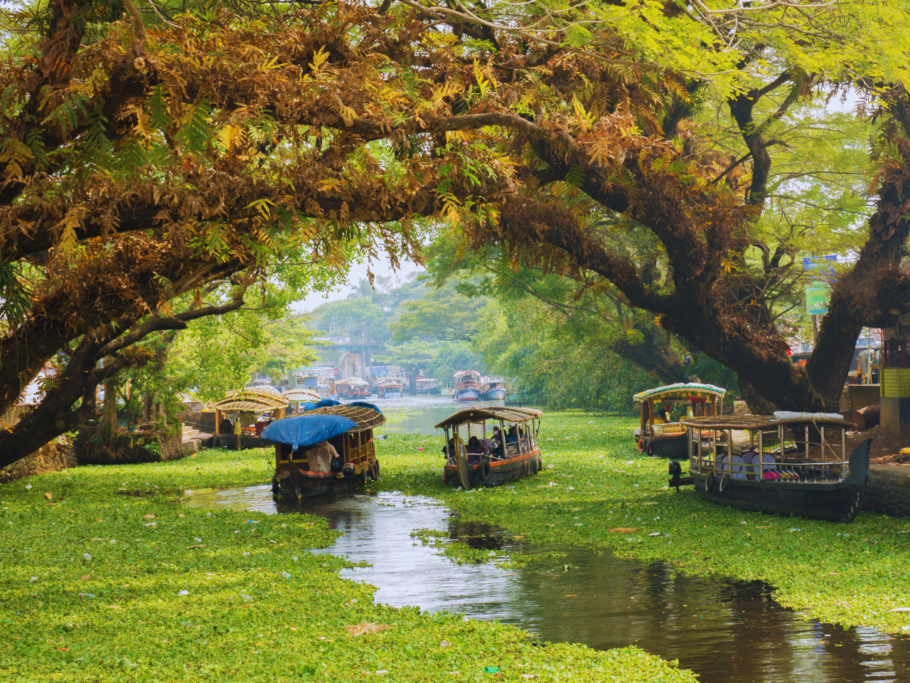
Backwaters: The backwaters of Kerala, particularly in places like Alleppey and Kumarakom, are a network of lagoons, lakes, and canals that offer houseboat experiences and are a major tourist attraction.
Diverse Wildlife: Kerala is home to several wildlife sanctuaries and national parks, including Periyar National Park and Wayanad Wildlife Sanctuary, where visitors can see elephants, tigers, and various bird species.
Cultural Melting Pot: The state has a rich cultural heritage influenced by various religions, including Hinduism, Islam, and Christianity, reflected in its architecture, cuisine, and art forms.
Spice Capital: Historically, Kerala was a major spice trading center, earning the nickname “Spice Garden of India.” It produces a variety of spices, including black pepper, cardamom, and cinnamon.
UNESCO World Heritage Sites: The Hill Stations of Kerala, including the Western Ghats, have been designated as UNESCO World Heritage Sites for their biodiversity and unique ecosystems.
Women Empowerment: Kerala is known for its progressive gender equality and women’s empowerment initiatives, which are reflected in higher participation of women in education and the workforce compared to many other Indian states.


